reviews
Garmin
215 products


| Overall rating | (4 reviews) |
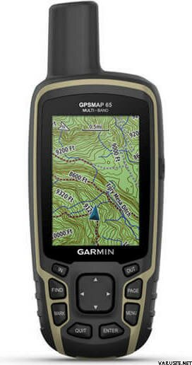
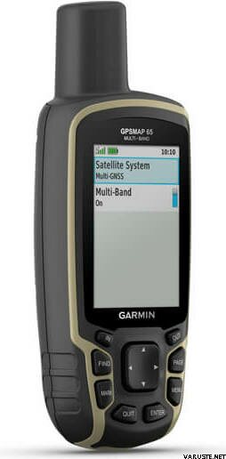
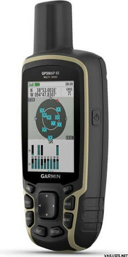
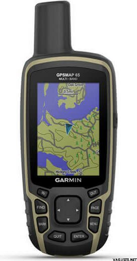
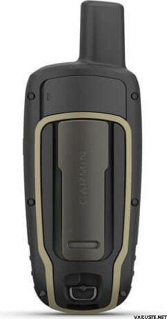
Garmin GPSMAP 65 is a rugged handheld GPS device that offers optimal tracking accuracy, a 2.6-inch colour display and preloaded maps!
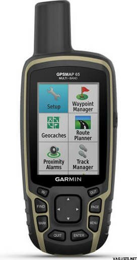
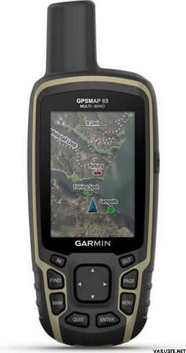
Multi-band technology and expanded GNSS support (GPS, GLONASS, Galileo, QZSS and IRNSS) provide optimal accuracy in steep country, urban canyons and forests with dense trees. Preloaded TopoActive Europe maps provide detailed views of routable street and off-road networks, waterways, natural features, land use areas, buildings and more. Receive emails, texts and alerts right on your handheld when paired with your compatible device. Using your compatible device and microSD memory card, conveniently download TOPO 24K maps and hit the trail. Get automatic cache updates from Geocaching Live, including descriptions, logs and hints. Plan, review and sync waypoints, routes and tracks by using the Garmin Explore app1 and website. You can even review completed activities while still in the field.
What's in the box:
General
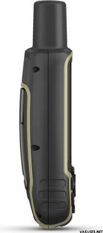
| Physical dimensions | 6,1 x 16,0 x 3,6 cm |
|---|---|
| Display size | 3.6 x 5.5 cm; 2.6-inch diagonal (6.6 cm) |
| Display resolution | 160 x 240 pixels |
| Display type | Transflective, 65K colour TFT |
| Weight | 217 g with batteries |
| Battery type | 2 AA batteries (not included); NiMH or Lithium recommended |
| Battery life | 16 hours |
| Water rating | IPX7 |
| High-sensitivity receiver | yes |
| Interface | High-speed mini USB and NMEA 0183 compatible |
| Memory/history | 16 GB (user space varies based on included mapping) |
Maps & memory
| Preloaded maps | Yes (TopoActive Europe; routable) |
|---|---|
| Map segments | 3 000 |
| Birdseye | 250 BirdsEye Imagery files |
| Storage and power capacity | Yes (32 GB max microSD™ card) |
| Waypoints/favourites/locations | 5 000 |
| Tracks | 200 |
| Track log | 10,000 points, 200 saved tracks |
| Routes | 200, 250 points per route; 50 points auto routing |
Sensors
Daily smart features
Outdoor recreation features
 Taiwan
| Overall rating | ☆☆☆☆☆ |
 — Show original
| Overall rating |
— Show originalNow you don't get lost anymore and it's quite easy to use. The Terrain map of the National Land Survey came with the memory card. That's a plus, but there was no instruction on how to transfer it to the device. That's why only 4 stars.| Overall rating |
— Show originalThe product is of good quality and easy to use in off-road use. A lot of features that many corridors. I personally use the device for orienteering in Upper Lapland, when other devices that use the Internet do not work.